Understand the ground beneath your project
Geotechnical Investigations & Testing
Field investigations, geophysics and soil and rock testing that establish ground conditions and the parameters needed for engineering design.
Explore this service
Services
Investigate the ground. Understand the water. Assess the rock. Explore integrated services for mining, energy and infrastructure.
01 / Understand the ground beneath your project
Field investigations, geophysics and soil and rock testing that establish ground conditions and the parameters needed for engineering design.
Discuss this service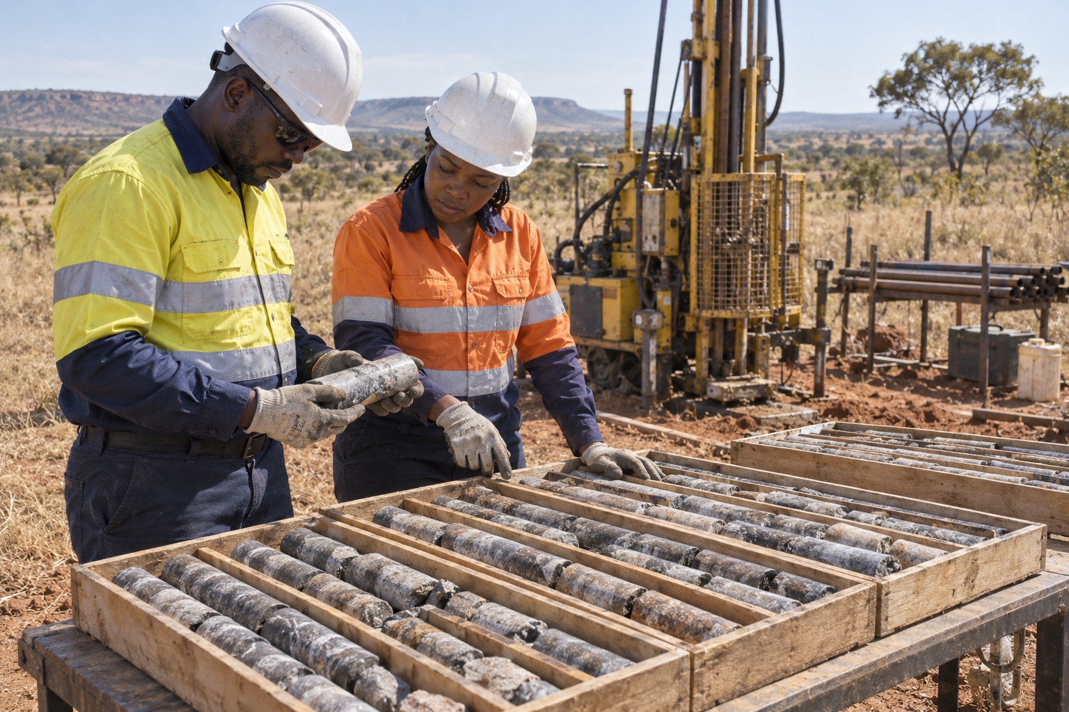
Review geological, topographic and geotechnical information, roads, wayleaves, infrastructure and water bodies. Site reconnaissance and GPS/GIS topographic surveys establish the context and locations for investigation.
Plan boreholes, trial pits, sampling and test locations to assess soil and rock stratigraphy, variability, groundwater conditions and depth to competent ground across the site and proposed infrastructure zones.
Undertake borehole investigations and rotary core drilling with soil and rock sampling, including undisturbed samples where required. Detailed borehole and trial-pit logs, rock quality designation (RQD), dry and wet core photographs, and trial-pit photographs provide a traceable ground record.
Standard Penetration Tests (SPT), Dynamic Cone Penetration Tests (DCPT), and anchor pull-out tests where applicable help establish the ground parameters relevant to the proposed works.
Seismic refraction, ground-penetrating radar (GPR) and electrical resistivity investigations support subsurface interpretation. Survey outputs include raw data, processed sections and engineering interpretation.
Particle size distribution by sieve and hydrometer analysis, Atterberg limits and soil classification, including USCS or AASHTO as appropriate, describe soil layers and their engineering behaviour.
Direct shear or triaxial testing establishes shear-strength parameters. Proctor compaction and California Bearing Ratio (CBR) testing support fill specifications, earthworks and access-road subgrade assessment.
Consolidation testing assesses settlement characteristics. Laboratory permeability, in-situ permeability or packer testing, and soakaway tests support seepage, infiltration and drainage assessments.
Chemical composition and soil aggressivity testing inform concrete durability assessments. Groundwater observations, water sampling and analysis of pH, salinity and chemical composition support the wider site assessment.
02 / Turn ground data into design decisions
Ground models and geotechnical recommendations for foundations, piles, slopes, earthworks and roads, informed by site investigation and testing.
Discuss this serviceCombine geological, geophysical and geotechnical data into a three-dimensional ground model. Interpret stratigraphy and provide strength, stiffness and density parameters for each relevant stratum.
Recommend suitable foundation types, allowable bearing pressures and estimated settlements for buildings, solar arrays, substations, transmission towers and other infrastructure within the project brief.
Assess pile capacity and provide skin-friction and end-bearing parameters, alongside settlement considerations and the ground information needed for foundation design.
Assess natural ground and proposed cut or fill slopes, identify relevant stability constraints and provide recommendations that inform site layouts and construction.
Develop recommendations for grading, site preparation, cut-to-fill balance, material suitability and compaction. Identify where ground improvement may be required and assess options appropriate to the site.
Identify and assess potential borrow sources for material quality, quantity and suitability for fills and construction. CBR-based pavement recommendations support access-road design.
Assess expansive and collapsible soil risks, review historical seismic activity where required and establish seismic site classification and relevant design inputs within the applicable project framework.
Interpret soil chemistry and concrete aggressivity, including ACEC classification where relevant. Inception, draft and final reports present design parameters, ground models, recommendations, supporting records and findings for discussion with the project team.
03 / Plan for water across the site
Catchment studies, flood assessment and stormwater drainage recommendations that inform site layouts, platform levels and infrastructure design.
Discuss this serviceUse topographic data, satellite imagery and GIS to delineate upstream catchments, understand drainage pathways and identify surface-water conditions that influence the site.
Estimate peak discharges and hydrographs for project-specific return periods and the Probable Maximum Flood where required. Select suitable methods, such as the Rational Method, SCS unit hydrographs or regional flood-frequency analysis, for the local conditions.
Assess design-event flood extents, depths and flow velocities across the site and prepare flood-risk maps that support layout and infrastructure decisions.
Recommend minimum platform levels for the development and vulnerable equipment, including inverters and substations, using the site flood assessment and agreed design criteria.
Develop recommendations for site-wide drainage systems to convey runoff from developed platforms, access roads and building roofs, with drainage considerations integrated into site preparation and earthworks.
Present catchment mapping, design assumptions, flood results and drainage recommendations in clear technical reports, supported by data, maps and a presentation of the key findings.
04 / Understand groundwater and water-supply potential
Groundwater studies covering aquifer conditions, water quality, sustainable yield and excavation dewatering, with testing programmes tailored to the site.
Discuss this serviceAssess groundwater conditions and potential water-supply locations using investigation data, available boreholes and water-table monitoring. Relate groundwater levels to geology and the proposed development.
Interpret available slug-test data and recommend a pumping-test programme where warranted. Evaluate transmissivity, storage coefficient and hydraulic conductivity using the available test and monitoring evidence.
Prepare groundwater contour maps from monitoring data to interpret flow direction, hydraulic gradients and the implications for water supply and site works.
Assess potential long-term sustainable aquifer yield against the project water demand and prepare a preliminary water balance for operational planning.
Water sampling and analysis of pH, salinity and chemical composition help assess groundwater quality and suitability for the intended project use.
Assess potential groundwater ingress to cable trenches, foundations and other deep excavations. Recommend appropriate dewatering methods where the ground conditions and construction brief require them.
Bring monitoring records, aquifer interpretations, water-quality results, flow maps and water-resource recommendations together in a documented groundwater assessment.
05 / Assess rock behaviour around underground excavations
Rock mass assessment, underground stability and support design, supported by 2D and 3D numerical modelling of stress, deformation and excavation response.
Discuss this serviceRock mass classification and structural mapping establish the geological and geotechnical conditions relevant to underground excavations and their stability.
Assess excavation, stope and pillar behaviour against the ground conditions, geometry and mining context to identify stability constraints and inform design decisions.
Develop and assess underground support recommendations in relation to the rock mass, excavation geometry and anticipated response.
Evaluate stress redistribution, deformation and rock mass response around excavations to support the assessment of underground layouts and support requirements.
Build numerical models suited to the engineering question, ground conditions and available data, examining underground excavation behaviour and alternative design scenarios.
Use available observations and monitoring data to calibrate model inputs and examine sensitivity to uncertain parameters, making the assumptions and limits of interpretation clear.
Assess excavation and extraction sequences through modelled scenarios. Provide documented assumptions, findings and practical recommendations to support mine planning and ongoing review.
06 / Understand changing ground
Field observations, mapping and spatial records that give mine-site decisions a clear technical basis.
Discuss this service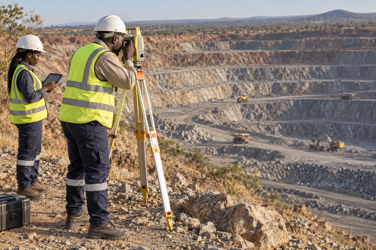
Define objectives, monitoring locations, frequency, responsibilities and decision thresholds with the client.
Undertake agreed observations and measurements using methods suited to the site.
Record geological, geotechnical and spatial conditions, including agreed photogrammetric capture.
Review trends and observations in their site context, identifying items that need attention.
Provide traceable records, clear findings and practical recommendations within the agreed scope.
07 / Support informed operations
Technical field support, geological mapping and sampling support shaped around the needs of each mine site.
Discuss this service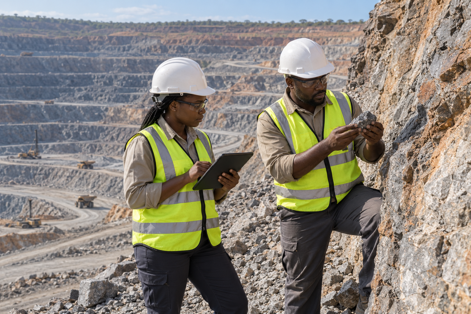
Provide site-focused technical inputs within the agreed mining brief.
Document geological conditions through field mapping to support the site's technical work.
Support agreed field sampling activities and the associated site documentation.
Organise field observations, mapping and sampling records so the project team can use and review them.
Bring the agreed field inputs together in site documentation and reporting that supports informed operational decisions.
08 / Equip the project
Sourcing and supply coordination for the materials, consumables and equipment agreed for your project.
Discuss this service
Establish the materials, consumables and equipment to be sourced within the agreed brief.
Source agreed project materials with the client's specification as the starting point.
Source the consumables required for the agreed project activities.
Coordinate sourcing of the agreed equipment against the client's project requirements.
Coordinate supply of the selected materials, consumables and equipment with the client.
What you receive
Investigation locations and levels, borehole and trial-pit logs, photographs, field measurements, laboratory results and interpreted geophysical sections.
Integrated ground models, engineering properties, foundation and slope parameters, flood maps, groundwater interpretation and numerical model findings.
Agreed inception, draft and final reports, digital datasets and findings presentations, with recommendations, assumptions and limitations stated clearly.
Your next project